Cavallino-Treporti
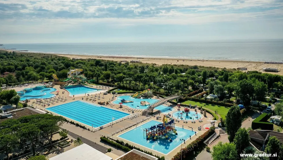
Cavallino-Treporti is a scattered Italian comune with 13,283 inhabitants in the metropolitan city of Venice in Veneto, which until 1999 was a district of the Municipality of Venice. The name comes from the two towns that make up the territory, but neither is the municipal seat, as the capital is Ca' Savio.
The territory of the municipality is a coastal peninsula that separates the northern Venetian lagoon from the Adriatic Sea. The river Sile (which flows in the old bed of the river Piave and is therefore also known as Piave Vecchia) separates it to the northeast from the municipal area of Jesolo.
The peninsula is separated from the lagoon by the Pordelio channel, which branches off to the west into two other channels, Portosecco and Saccagnana; all three are navigable. The Pordelio ends near Sila, with which it is connected by the Casson canal; the confluence of the latter into the river is regulated by a dam.
The territory of the peninsula is a peculiarity: it has approximately doubled since 1888, the year of the construction of the breakwater, which, by stopping the sand nearby, allowed the advance of the land, which continues today, until it reaches the final light of the dam. (in 2016, only a hundred more meters). In 1888, the sea reached the current Punta Sabbioni, which is now 2 kilometers away, advancing by about 150 meters every 10 years, which determined the formation of a triangle of new coastal land, which then represented camping grounds, state property and considered military area (while the original territory or internal territory remained agricultural and private property). Precisely because of the nature of the military zone (and therefore with the ban on construction), there was no urbanization in Novoprimor, instead only camps were developed on relative plots, which were granted to private individuals by concession. country. It is unusual that one of the lots was assigned by the Italian army to the Italian Communist Party.


 AUSTRIA
  MONTENEGRO
  ITALY
ITALY  SLOVENIA